
After yet another wonderfully
satisfying Mexican breakfast, which surely would sustain us for much
of the rest of the day, we left Silver City a couple of days ago. I really liked this
medium-sized town that felt like a place where I could live – not
that I am looking for one. The landscape speaks to me with its tones
of silver greens and greys and gently rounded hills. Depending into
which direction one looks, however, there are also less beautiful
things: as in any area rich in mineral resources mining has left its
scars, sometimes visible from far away. Much as I lament this I can't
rightly complain about it: I use these resources and am thankful that
they are available, after all.


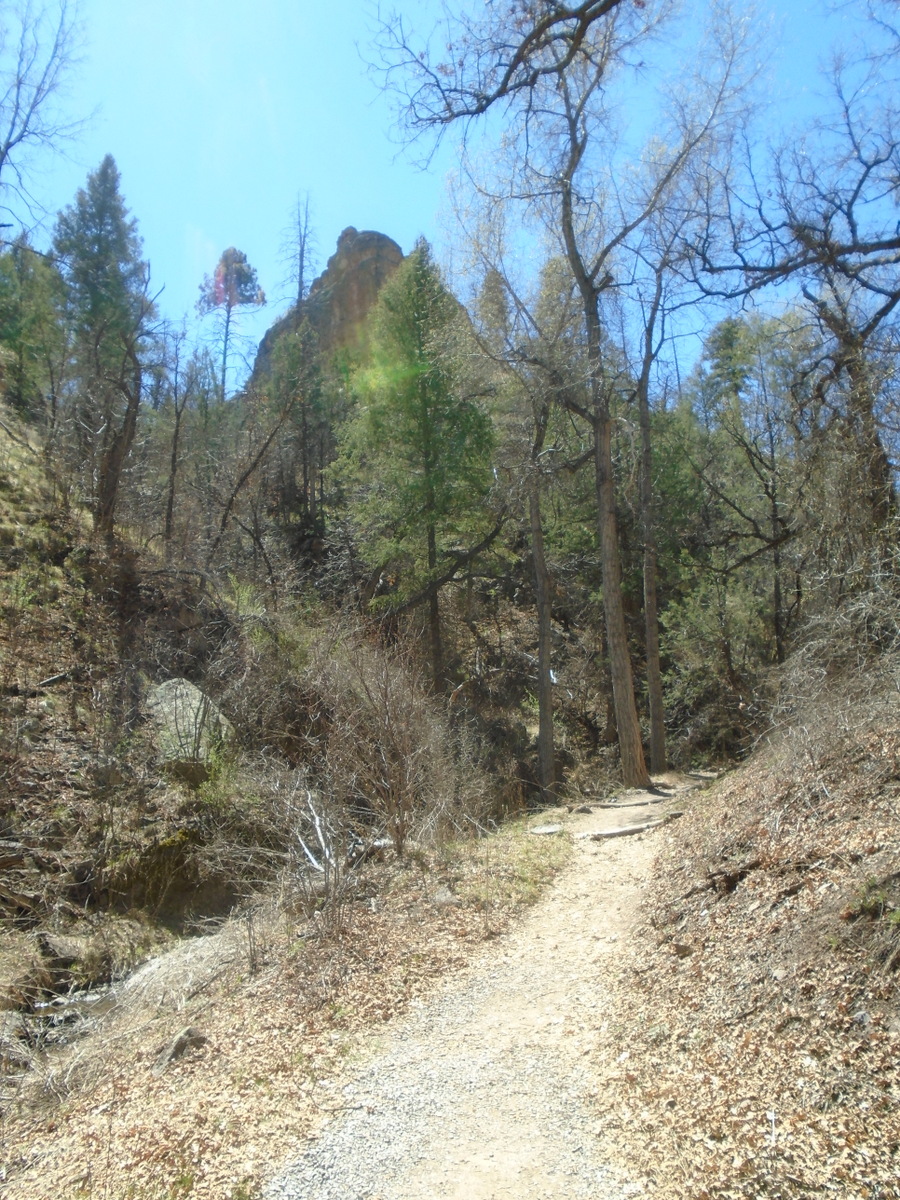
We took Hwy. 15 out of town, which
immediately begins to climb through beautiful, forested country
towards Pinos Altos (High Pines, a very fitting name since this area is home to large stands of Ponderosa pine). This is an interesting little town, almost
deserted now but once obviously with grand aspirations: the 'opera
house' and other buildings give witness to that.
Once again we crossed the continental
divide on this very curvy, very narrow road that had me hold my
breath in a few places. If possible I avoided looking too closely
when we rounded yet another hairpin curve, a steep drop right beside
me, another pickup coming towards us just at that very moment. I was
much too taken with the scenery, however, to worry much, and with
Johann's slow and careful driving I felt quite safe. There was very
little traffic, which, I imagine, will change in the summer.

After about three quarters of an hour
we reached the intersection with Hwy. 35 near Lake Roberts, and from
then on the road was a bit wider and had a centre line. We continued
to climb, but the landscape became more open, with gorgeous views
from the ridge. Finally we started one long downhill stretch towards
the Gila river and headed for the Gila cliff visitor centre, not very
big but nicely set up with displays, a small room to watch a video of
the Gila cliff dwellings and a well appointed book section. The
helpful rangers gave us some good advice where to hike in the area,
plus some instructions regarding the Gila cliff area itself, and we
soon were on our way to see this very special place for ourselves.

There is another small visitor centre
right at the foot of the cliffs, and the ranger there gave concrete
instructions to everybody visiting the ruins, pointing out that
another ranger was up at the top to answer any questions arising
there. The whole loop is a mile long and takes only about an hour to complete, and since
we had about two and a half hours until closing time we walked slowly, enjoying the
signs of spring now apparent everywhere: golden fumitory, the small
herbaceous plant that had caught my eye on several occasions on our
hikes around Silver City, buffalo bean, wild gooseberries and
honeysuckle leafing out, even a single dandelion.
The trail up
ascends slowly along a little creek before the last steeper ascent
via stone stairs. Here and there on the way up one can catch glimpses
of the caves built into the cliffs about 55m above the canyon floor.


Up at the top we walked on firm rock
along the cave entrances. Here, members of the ancient Mogollón
people built their pueblos inside these caves with rocks, mortar and
timber somewhere in the late thirteenth century. There are a lot of
unknowns because there are no written records nor oral traditions
that explain exactly why they moved into these dwellings and chose to
live high up in this canyon. It is assumed, however, that a 25-year
drought and the resulting economic uncertainties and warfare caused a
group of people to flee the lower lying areas and seek shelter here.
It cannot have been an easy life: water had to be carried up from the
creek below, and they grew corn on the mesa across the canyon, which
is at about the same height as, if not higher up from the canyon
bottom than the cliff dwellings.


They built walls along the cave
entrances and inside, creating rooms of different sizes that housed
up to sixty people altogether. In most cases the walls don't reach
all the way up to the cave ceiling but end about 50cm below so that
the smoke from the fires used for heat and cooking could escape; the
cave ceilings are blackened from it. The caves would have provided
reasonably good protection from both the summer's heat and the
winter's cold.
 |
| Ancient cobs of corn |
Petrified
corn has been found around the caves, and genetic testing proved that
it was grown in the time when the Mogollón
people settled here. Most of their food would have come from fishing,
hunting and gathering, subsidized with the corn grown on the mesa.
Pottery found in the caves showed that these people likely came from
the Tularosa region about 60 miles to the north rather than being
closely connected to the Mimbres people southeast of the Gila cliff
dwellings, and finds of macaw feathers suggest that their trade
routes went all the way down to central America.

One of the caves has
a t-shaped doorway found in the pueblo cultures further south but not
often here, so this, too, shows a likely connection to other peoples
of the Southwest. In one of the caves a few petroglyphs can still be
found; we saw two depictions of men and one of a snake.

The
inhabitants of these caves moved away after only a few decades around
1300. Why? Nobody can say for certain, but it was a time of many
migrations in the Southwest, and likely the climatic and resulting
economic conditions improved so that the cliff dwellers moved on to
areas where the living was easier.

No comments:
Post a Comment