 |
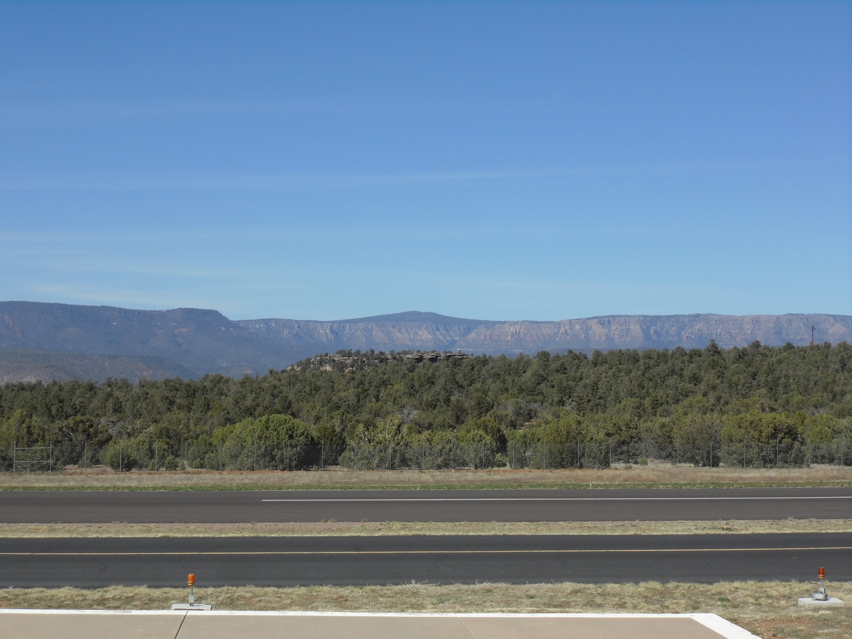
| Mogollon Rim overlooking Tonto National Forest |
Monterey Bay Inn, Long Beach,
California, 8 o'clock Monday morning
The rumbling of thunder and sound of
heavy rain has receded, and dim light is seeping through the small
window looking out on a back alley here in an industrial area close
to the harbour. We dropped Manfred, Marietta, Siegfried and Marga off
at the “Queen Mary” last night and reached our own destination,
chosen on the internet like so many others where we have stayed/will
stay on this trip, fifteen minutes later. There was hardly any
traffic on the way, and our street, too, was quiet. It might not be
the most desirable neighbourhood, is far from modern, but it is clean
and has character, the man at the front desk was very friendly, and
the internet is the fastest I have seen in a long time. We'll pick up
the others at eleven, so I hopefully have time to gain a little on my
blog writing.
Back to Mesa, then, which seems like
another life, a different world already.
On Friday morning we headed north, as
planned. The scenic road curved through the familiar desert landscape
at first, climbing steadily, with beautiful views of rugged ridges
and cactus studded valleys far into the distance. Slowly the
vegetation changed, pine started to take over from cactus, the
temperature dropped to more moderate levels.

After about an hour and a half we
reached Payson, a neat town with historic centre. We had stayed here
before on our way north three years ago and walked in the pine forest
surrounding it. After the summer feeling of the desert we had gone
back in time: here, everything shouted 'SPRING'! Ornamental trees of
some sort – plum, possibly? - displayed their abundance of pink
blossoms all through the town centre, other trees and shrubs were
just starting to leaf out – I thought once again that I wouldn't
want to exchange seasons for everlasting summer. How joyful this
spring landscape made me feel!
At the tourist information, housed in
one of the historic buildings, we asked for instructions how to get
to the Natural Bridge State Park and soon were on our way. After
twelve more miles north we had reached our destination.

In Aaron's Arizona tourist guide we
had read that this was a 'travertine bridge', but had no idea what
exactly this meant. Now, we found out that travertine is a
calciferous deposit, that bridges formed by this are quite rare, and
this bridge is the largest in North America. Not all trails were open
yet; while we didn't see any snow or ice the park administrators must
have deemed it still too unsafe. From several viewpoints we could
appreciate the impressive structure, over 50m high and still growing
from the minerals continuously deposited by a little stream.

We hiked down the switchbacks and
stairs to the bottom and sat on a log by the side of the quiet little
stream for a while before walking the few metres to the bottom of the
bridge. Here, we could fully appreciate this natural structure
arching high above.


Back on top we found the access to the
other trail already open, again down big, uneven steps hugging the
cliff, until we reached a 'weeping wall', water trickling down the
moss-covered rock. Here, too, the minerals had settled in interesting
formations.


No comments:
Post a Comment